
Related

Sychevsk town map. Russian Empire - Public domain map
Shemakha Province, Russian empire

Roslavl County Plan Russian Empire - Public domain map

Stravinsky rimsky-korsakov, Russian Empire

Vyazniki of Vladimir Gubernia - Surroundings, Tolmachevo village

The land of Chukotka and the Kamchatka region, Russian empire, 1856
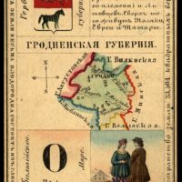
Grodno Province, Russian empire, 1856
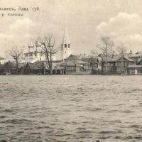
Gorokhovets of Vladimir Oblast, Russia, view from Klyazma.

Grossfurst Constantin Pavlovich - grand duke of Russia
Gzhatsk county plan. Russian Empire - Public domain map
Summary
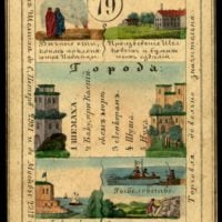
Гжатский уезд.
Планы городов и карты уездов Смоленской губернии конца XVIII века
Plans of cities and maps of districts of Smolensk province at the end of the XVIII century
Plans of cities and maps of counties of Smolensk province at the end of the XVIII century. Планы городов и карты уездов Смоленской губернии конца XVIII века.
Tags
гжатск
российская империя
russian empire
russia
россия
smolensk
смоленск
смоленская губерния
города
towns
smolensk province
maps
карты
gzhatsk
18th century
history of russia
high resolution
plan
settlement
Date
1775 - 1800
in collections
Source
Russian State Library
Link
Copyright info
No known copyright restrictions